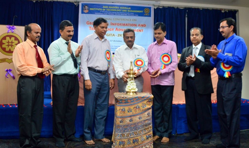
 The two-day national conference on Geospatial Information and Technology Advancement (GITA 2K15), jointly organised by the Departments of Civil Engineering and Computer Science &Engineering of Shri Madhwa Vadiraja Institute of Technology & Management, Bantakal in Udupi district was inaugurated on 16 October 2015.
Speaking on the occasion, Dr. Uday Raj, Director, Regional Remote Sensing Centre, ISRO, Bengaluru talked about the strategic importance of developing indigenous geospatial technologies and how ISRO, with the recent launch of its GSAT-6 and Astrosat satellites, helped to make the country self-reliant in having location-oriented indigenous satellites that would provide vital geospatial information required for strategic planning.
Dr. Nagesh Kumar D., Chairman, Centre for Earth Sciences, Indian Institute of Science, (IISc.) Bengaluru, who was the guest of honour on the occasion, said that extracting useful and relevant information from the huge amount of data provided by the geospatial technologies and using the extracted information effectively for the betterment of areas such as agriculture, detection of water resources, determining the quantity of water etc. were big challenges for a vast country like India.
Mr. Ratnakumar, Secretary Shri Sode Vadiraja Mutt Education Trust, Udupi presided over the inaugural function. Dr. Thirumaleshwara Bhat and Dr. Ganesha A., Principal and Dean (Academics) of SMVITM respectively, welcomed the gathering and proposed the vote of thanks. Dr. TV. Ramachandra with Energy & Wetlands Research Group, IISc.; Dr. H. Gangadhara Bhat, Prof. & Coordinator of Geo-informatics, Mangalore University; Dr. Dwarakesh, Prof. & Head, Applied Mechanics, NITK, Surathkal; Dr. Subba Rao, Prof., Applied Mechanics, NITK, Surathkal; Dr. B. Naveenachandra, AGM, BSNL, Mangaluru and Dr. Radhakrishna S. Aithal, Director, SMVITM were present.
The inaugural function was followed by a keynote address on Advancements in Geospatial Techniques by Dr. Uday Raj and a talk on GPS in Watershed Management by Dr. Nagesh Kumar. Dr. Bharath Aithal, Senior Research Associate at IISc. also gave a guest talk on Smart Cities.
In four technical sessions under the categories Geospatial Technologies, Technology Advancements and Geospatial Applications, 19 papers were presented by researchers, academics and students from across the state on the first day of the conference.
The Conference was concluded on Saturday, 17 October 2015.
 Speaking at the valedictory function of the conference, chief guest, Dr. T.V. Ramachandra, Energy & Wetlands Research Group, Indian Institute of Science, (IISc.), Bengaluru said that it was befitting that the acronym for the conference was GITA since the ancient literatures of Asia, especially of India, had always emphasized the importance and conservation of nature. He lamented the attempt to weaken environmental laws in India at present and urged the participants, especially the students, to take up the cause of environmental protection. He also exhorted the students to write to the state government to drop the Yettinahole project, considering the disastrous environmental damage the project could cause to the Western Ghats.
Dr. H. Gangadhara Bhat, Prof. & Coordinator of Geo-informatics, Mangalore University, as guest of honour, said that India’s achievements in space exploration and in the development of geospatial technologies were enviable. He reminded the students of the incredible pace at which technology, especially geospatial technology advanced in the country and urged them to do their best for the development and prosperity of the country.
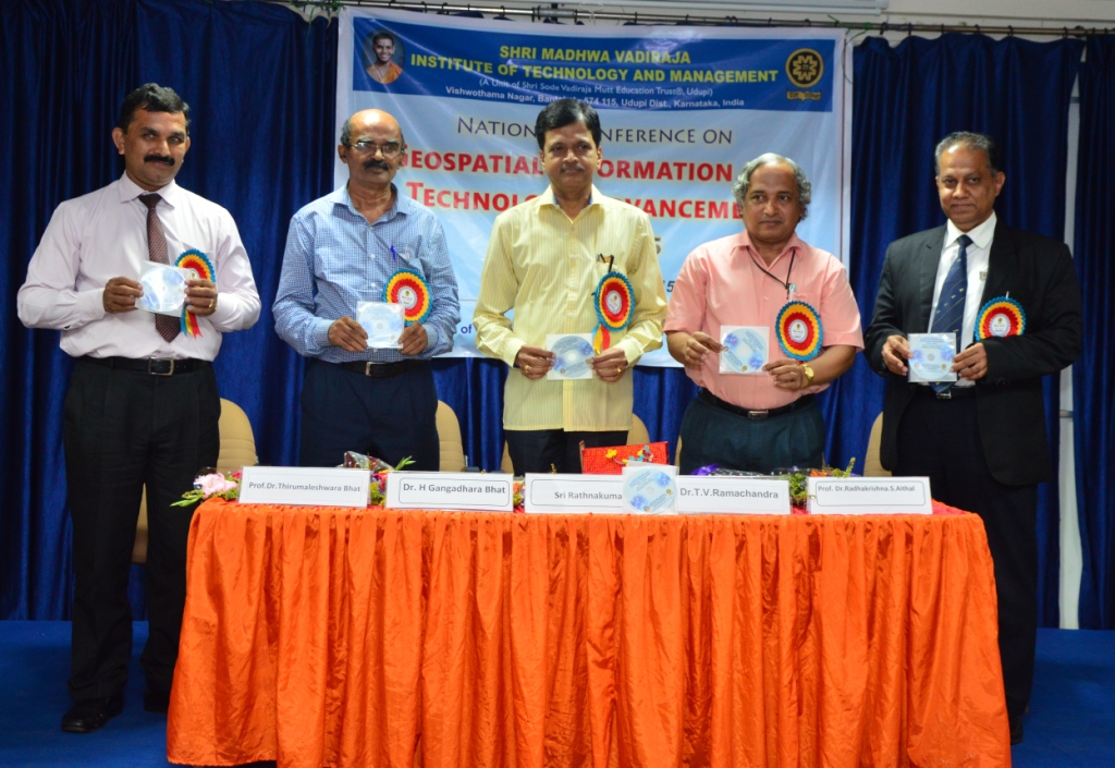
Dr. Ramachandra released a CD containing the conference proceedings on the occasion and Dr. K. K. Srinivasan, Prof. & Head of the Department of Chemistry at the Institute, presented a summary of the proceedings. Dr. Radhakrishna S. Aithal, Director, SMVITM made the concluding remarks.
Dr. Vasudeva, Prof. & Head of the Department of Computer Science & Engineering of SMVITM welcomed the gathering and Dr. Radheshyam B., Head of the Department of Civil Engineering proposed a vote of thanks.
Mr. Mr. Ratnakumar, Secretary, Shri Sode Vadiraja Mutt Education Trust, Udupi presided over the function. Dr. Dwarakesh, Prof. & Head, Applied Mechanics, NITK, Surathkal; Dr. B. Naveenachandra, AGM, BSNL, Mangaluru; Dr. Thirumaleshwara Bhat, Principal, SMVITM and Dr. Ganesha A., Dean (Academics), SMVITM were present.
Invited talks on Ecological Carrying Capacity Assessment through Geoinformatics by Dr. Ramachandra; Multispectral and Hyperspectral Remote Sensing by Dr. Gangadhara Bhat and Recent Advances in Satellite Image Analysis Techniques by Dr. Krishna Mohan, Professor, Centre for Resources Engineering, IIT, Bombay were delivered on the second day of the conference.
In five technical sessions, spread over two days, 23 papers under the categories Geospatial Technologies, Technology Advancements, Geospatial Application and Geospatial Processes/Policies were presented by researchers, academics and students from across the state at the conference.
Click here to download Proceedings of GITA-2K15 (ISBN: 978-93-5254-003-7)